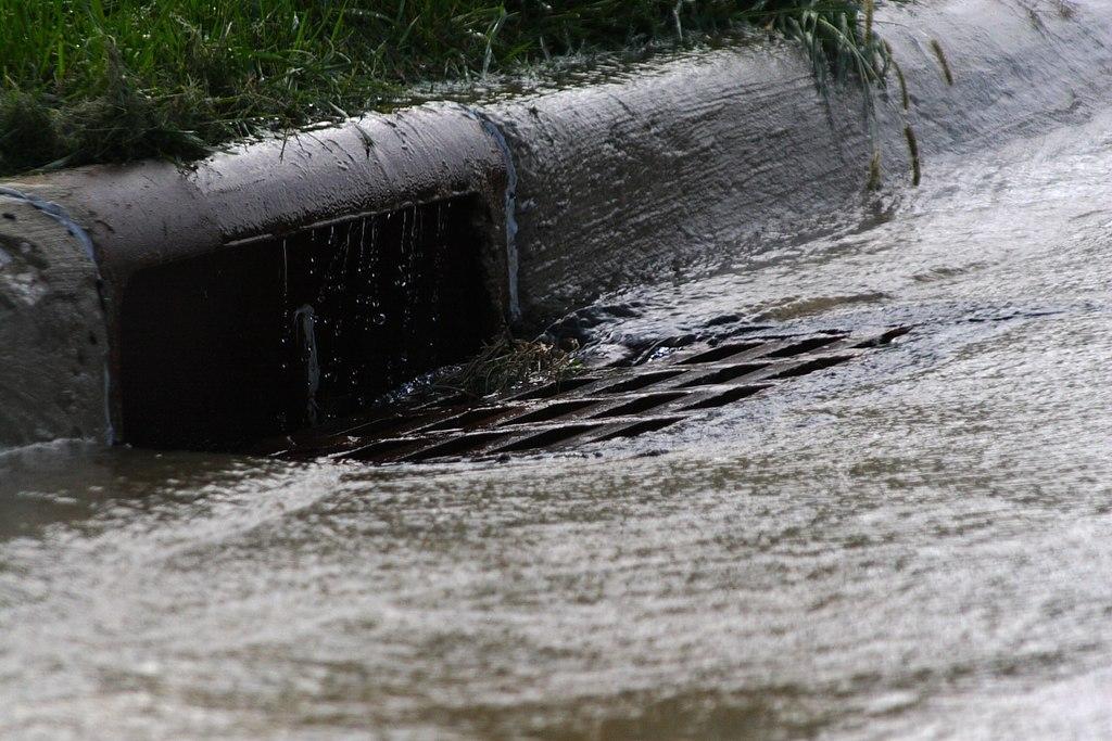
A new University of Maryland study suggests that Washington, D.C.’s most socioeconomically vulnerable neighborhoods are less equipped to handle runoff from heavy rainfalls made more frequent by climate change.
Published this month in Cities, the study reveals that the most densely populated communities in the District of Columbia, particularly in historically Black Southeast D.C., lack critical public resources, including sewer capacity and “green” infrastructure like rain gardens and trees, to adequately control stormwater. Further, the study points to the role of racist planning practices dating to the 19th century that fueled inequitable infrastructure distribution and housing conditions across D.C. as a contributing factor to which parts of the city are more prone to flooding.
“Stormwater and sewer infrastructure haven’t been historically studied through an equitable justice lens because it’s pretty invisible; it’s not an issue until it’s an issue,” said one of the authors, Marccus Hendricks, associate professor of urban studies and environmental planning. “These communities will encounter greater challenges in dealing with extreme weather events, which are becoming more frequent.”
Conducted through the University of Maryland’s Stormwater Infrastructure Resilience and Justice (SIRJ) Lab, the study used data from the District of Columbia’s Open Data DC website and ArcGIS, a geographical information systems mapping software, to investigate the relationship between infrastructure, urban features and socioeconomic vulnerability.
Researchers mapped the availability of sewer pipelines and similar “gray” infrastructure like pumping stations and culverts for over 450 census block groups (geographical units with populations of 600 to 3,000 people) within Washington, D.C., correlating them with urban features like impervious pavement, housing density and green infrastructure such as green roofs and permeable pavement. These factors were then linked with the socioeconomic makeup of the geographical units, including factors like median income, home value, rent prices, race and age.
While they found that the city’s stormwater infrastructure has been unable to keep pace with its population growth, green and gray infrastructure are less prevalent in densely populated areas with high levels of impervious surfaces—frequently marginalized communities of color—which creates excess runoff and overwhelms the outdated sewer structure. The analysis revealed that areas with higher social vulnerability in the District tend to have less sewer pipes, as indicated by models examining stormwater infrastructure capacity across census block groups.
Southeast’s history of disinvestment and infrastructure inequity dates back to the Civil War, while redlining and urban renewal displaced 23,000 residents from Southwest D.C. in the 1960s, creating intentional barriers to wealth accumulation. While the city’s population boomed over the first half of the 20th century, the researchers found Black residential areas saw radically different patterns of development than majority-white communities, requiring a different approach to stormwater management.
“These communities are much more densely populated with a lot of pavement and concrete, so less places for the water to go,” said SIRJ Lab manager and Postdoctoral Associate Priscila Alves, one of the study’s authors. “These are the places we are seeing that struggle with flooding.”
Green infrastructure can manage severe rainstorms that inundate existing sewer systems by slowing, absorbing and cleaning water before it hits storm drains, and can help offset the “heat island” effect, which can drive up urban temperatures and create “cloudburst” storms.
It can also bring economic and social benefits, said Alves, “but it’s beautifying too—and also pretty easy to do.”
In 2016, D.C. began implementing a long-term project that includes green infrastructure to reduce its combined stormwater/sewage overflows, which seep pollutants into waterways including the Anacostia and Potomac rivers. Green infrastructure is currently being used to manage 92 impervious acres in the District, according to DC Water; but UMD’s study points to a clear disparity in where it is being employed.
“The conversations I’ve had with people in D.C. working in this space know that they have an equity issue that’s deeply rooted in its history,” said Hendricks.
The study, which was also authored by Minkyu Park Ph.D. ’24 and Rachel Whiteheart M.C.P. ’23, is one of the few to look at both above- and below-ground infrastructure through a socioeconomic lens, and the first to do so for the District of Columbia, with the aim of helping city planners funnel infrastructure dollars to neighborhoods most at risk.
“They recognize that we are facing more of these storms, and risk of overflows—why not leverage the academic institution right in their backyard to support them in understanding the issue and addressing it?” said Hendricks.

